English
 Español
 Deutsch
 日本語
日本語 Polska
 Français
 中國
中國 한국의
한국의 Українська
 Italiano
 Nederlands
 Türkçe
 Português
 Bahasa Indonesia
 Русский
 हिंदी
हिंदीPolitical Map of France Low-poly 3D-Modell

obj png blend fbx glb
Tykryk
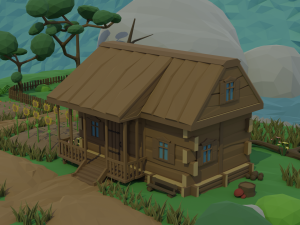
Cityscapes
glb obj png blend fbx
Tykryk
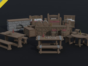
Dining Room


- Verfügbare Formate: GLB / GLTF: glb 465.03 kbWavefront OBJ: obj 565.95 kbImage Textures: png 1.06 kbBlender: blend 1.13 MB
Render: CyclesAutodesk FBX: fbx 675.15 kb
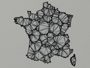
- Polygone:36132
- Eckpunkte:25880
- Animiert:No
- Texturen:
- Rigged:No
- Materialien:
- Low-poly:
- Sammlung:
- UVW mapping:No
- Plugins Used:No
- Druckfertige:No
- 3D-Scan:No
- Erwachsene:No
- PBR:No
- Geometrie:Polygonal
- Unwrapped UVs:Unknown
- Betrachter:1638
- Datum: 2023-05-26
- Artikel-ID:447173
- Bewertung:
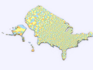
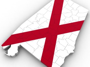
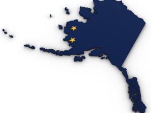
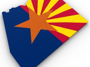
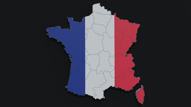
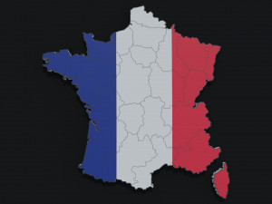
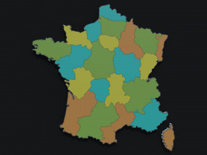
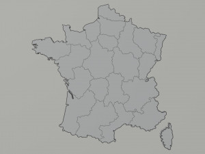
This is 3d model of the map of France .(2 objects)
Models:
France map- 1 France map flag color- 1 Create in Blender 3d v 3.1.2
File formats:
Blender 3d v 3.1.2
OBJ; MTL
Fbx
Gltf
The preview images were rendered in Blender 3d (Cycles; 1024 Samples)
Materials: 7
Texture: 2048x2048
Vertices: 25880; Polygons: 36132 Druckfertige: Nein
Mehr lesenModels:
France map- 1 France map flag color- 1 Create in Blender 3d v 3.1.2
File formats:
Blender 3d v 3.1.2
OBJ; MTL
Fbx
Gltf
The preview images were rendered in Blender 3d (Cycles; 1024 Samples)
Materials: 7
Texture: 2048x2048
Vertices: 25880; Polygons: 36132 Druckfertige: Nein
Sie brauchen mehr Formate?
Falls Sie ein anderes Format benötigen, eröffnen Sie bitte ein neues Support-Ticket und fragen Sie danach. Wir können 3D-Modelle in folgende Formate konvertieren: .stl, .c4d, .obj, .fbx, .ma/.mb, .3ds, .3dm, .dxf/.dwg, .max. .blend, .skp, .glb. Wir konvertieren keine 3D-Szenen und Formate wie .step, .iges, .stp, .sldprt usw!
Falls Sie ein anderes Format benötigen, eröffnen Sie bitte ein neues Support-Ticket und fragen Sie danach. Wir können 3D-Modelle in folgende Formate konvertieren: .stl, .c4d, .obj, .fbx, .ma/.mb, .3ds, .3dm, .dxf/.dwg, .max. .blend, .skp, .glb. Wir konvertieren keine 3D-Szenen und Formate wie .step, .iges, .stp, .sldprt usw!
Download Political Map of France 3D-Modell glb obj png blend fbx Von Tykryk
france paris lyon political map cartography geography flag country atlas symbol europe countries eu borders ocean sea exteriorEs gibt keine Kommentare zu diesem Artikel.